Earth Observation
IT in Geophysics - Classifying Earth from above with Machine Learning
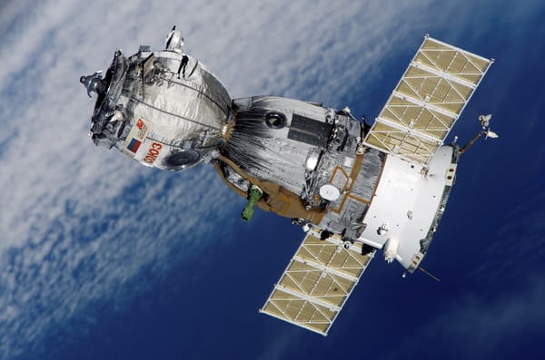
Humanity has found a way to analyze almost every aspect of the earth using maps. We have been able to visualize climate change, de/reforestation, city growth, etc. using satellite images. How are these maps created and how can we show all these important aspects of the earth so well?
